Gaps between samples
Short-lived events are easy to miss when measurements are taken weeks apart.
Project ALIGN is developing solar-powered wireless sensor nodes, a local gateway, and cloud-based reporting to make continuous water-quality monitoring more affordable, scalable, and trustworthy.
The problem
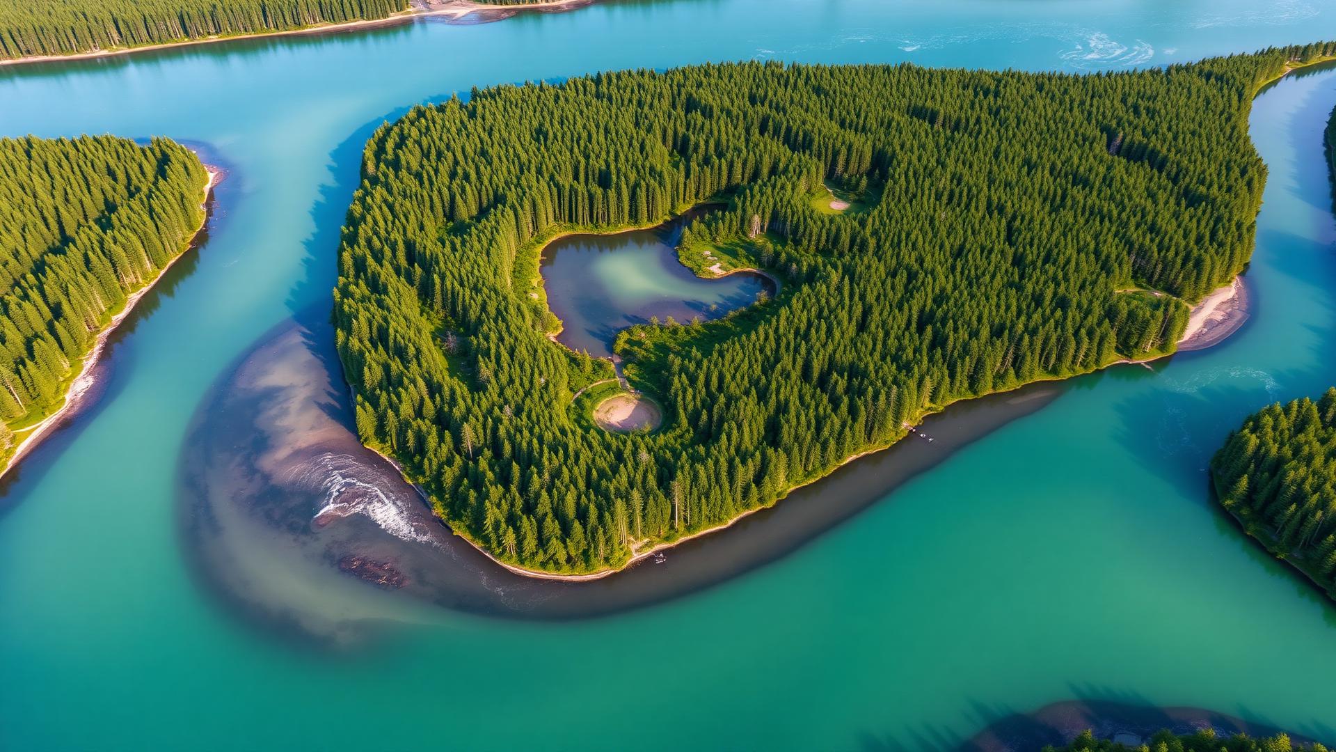
Most water-quality information still comes from occasional manual sampling. Conditions between samples — storm runoff, temperature swings, discharge events — often go unrecorded, leaving utilities, researchers, and watershed groups to act on incomplete pictures.
Short-lived events are easy to miss when measurements are taken weeks apart.
Grid power and reliable internet are frequently unavailable where monitoring matters most.
Conventional continuous monitoring equipment can be prohibitively expensive to scale.
About & mission
Who this is for
Water utilities, municipalities, watershed organizations, researchers and universities, conservation groups, government agencies, agriculture, and industry.
Project ALIGN is an early-stage environmental technology platform being developed by ExciteGuard Group LLC to make continuous water-quality monitoring more affordable, accessible, and scalable.
The platform combines solar-powered wireless sensor nodes, long-range communications, a local gateway, and cloud-based data reporting. A functioning prototype is currently undergoing real-world field testing, including autonomous operation, battery and solar performance, wireless data transmission, and offline data storage for remote locations.
What makes Project ALIGN different is its focus on modularity, low-power operation, remote deployment, trustworthy data, and long-term scalability. The goal is not simply another water sensor, but a platform that helps communities and organizations better understand and protect freshwater resources.
Technology
A high-level view of the ALIGN data path, from the waterway to the dashboard. Detailed engineering design and system internals are intentionally not published.
Solar-powered, low-power sensing unit deployed near streams, rivers, lakes, and reservoirs.
Measurements are transmitted over a long-range low-power radio link.
A local gateway receives node data and forwards it onward when connectivity is available.
The gateway buffers data locally and uploads it once connectivity is restored — useful for remote sites without reliable internet.
Received measurements are stored and organized for review over time.
Field data can be viewed, tracked, and analyzed as it accumulates.
The system stores measurements locally when needed and transmits saved data once connectivity returns — a capability being tested for sites without reliable internet access.
Platform
Project ALIGN is in the product-development and validation stage. The lists below separate what the prototype is being tested with today from what the modular platform is being designed to support.
Commercial configurations, service packages, and pricing have not yet been finalized.

Development progress
Project ALIGN has progressed through bench prototyping into outdoor testing. Status labels reflect the actual stage of each area of work.
Defined the need for affordable, continuous freshwater monitoring and outlined a modular node-gateway-cloud architecture.
Built working low-power sensing electronics, power management, and enclosure iterations on the bench.
Long-range node-to-gateway transmission validated under real conditions, including range and signal quality.
Autonomous outdoor operation with solar charging and battery performance monitored over time.
Local buffering during connectivity loss, with delayed upload and cloud-based data reporting.
Additional water-quality parameters, multi-site deployments, and expanded data tooling.
Field testing & progress
Selected views of the engineering process and real-world testing. Images represent development work only — Project ALIGN does not yet have commercial deployments or customer projects.
Representative imagery. Confidential engineering details, source code, and unpublished design information are intentionally excluded.
Live field data
Measurements from the prototype are published to a public cloud dashboard during field testing. This area is structured to later support richer charts, interactive maps, and additional environmental parameters.
Public dashboard
The current public data view is hosted on ThingSpeak. Replace the link below with your channel URL, or embed the channel charts directly in this panel.
Open live dataField data reflects an in-development prototype and should not be used for regulatory or compliance purposes.
Water temperature
Logged continuously during testing
Battery & solar performance
Voltage trend over deployment
Signal strength & uptime
Link quality and system status
Testimonials
Placeholder quotes from stakeholders and field collaborators as the project moves toward broader validation.
“Project ALIGN’s platform has the potential to give us continuous data where manual sampling leaves gaps.”
Watershed coordinator
Conservation nonprofit
“The solar-powered node and offline storage are exactly what remote monitoring needs.”
Field researcher
University environmental lab
“A clear, well-organized vision for scaling environmental sensing and making it accessible.”
Utility advisor
Regional water utility
Testimonials shown are placeholders and will be updated with actual quotes as they become available.
Founder
I am the founder of Project ALIGN and ExciteGuard Group LLC. With a background in mechatronics, industrial equipment, embedded electronics, automation, and product development, I created Project ALIGN to help make continuous water-quality monitoring more affordable, accessible, and scalable.
I have led Project ALIGN from early concept through working prototypes and real-world field testing — solar-powered sensing systems, low-power electronics, long-range wireless communication, environmental sensors, onboard data storage, gateway development, and cloud-based reporting.
Project ALIGN was born from my belief that better environmental stewardship begins with better access to trustworthy information.
FAQ
Project ALIGN is an environmental technology platform being developed to make continuous water-quality monitoring more affordable, accessible, and scalable. It combines remote sensing equipment, long-range wireless communication, a local gateway, onboard data storage, and cloud-based reporting.
Project ALIGN is currently in the prototype validation and field-testing stage. A functioning system is being tested for outdoor operation, solar and battery performance, wireless data transmission, local data storage, and cloud reporting.
The current prototype collects water temperature and operational information such as battery voltage, location, signal strength, and system status. The modular platform is being developed to support additional measurements such as electrical conductivity, pH, turbidity, dissolved oxygen, and other environmental parameters.
An environmental monitoring node collects measurements and sends them through long-range wireless communication to a local Home Base gateway. The gateway forwards the information to a cloud-based platform where it can be viewed and tracked over time.
The system is being developed and tested for remote operation and temporary loss of connectivity. The monitoring node can store measurements locally and transmit the saved data after communication with the Home Base gateway is restored.
Potential users include water utilities, municipalities, watershed organizations, researchers, universities, conservation groups, government agencies, agriculture, industry, and other organizations that need more consistent information about freshwater conditions.
Not yet. Project ALIGN is currently undergoing engineering development and field validation. Commercial configurations, pricing, deployment services, and availability will be announced as the platform progresses.
Use the contact form on this page or email contact@projectalign.io to ask questions, discuss potential monitoring needs, or express interest in future collaboration and field-testing opportunities.
Contact
Whether you manage a watershed, run a utility, or study freshwater systems, we'd like to hear what data would be most useful to you.
(530) 615-6123